Additional Resources
America’s Watershed Initiative
America’s Watershed Initiative, or AWI, is a collaboration working with hundreds of business, government, academic, and civic organizations to find solutions for the challenges of managing the Mississippi River and the more than 250 rivers that flow into it. In 2016, AWI released its “Report Card” for the basin, and it is now working to update the report card for 2020.
Naturally Resilient Communities
The Naturally Resilient Communities partnership has created an online guide of nature-based solutions and included case studies of successful projects from across the country to help communities learn more and identify which nature-based solutions might work for them, with an emphasis on flood-risk reduction.
The Resources page on the Naturally Resilient Communities website includes links to literally dozens of valuable resources related to flood-risk reduction.
Nature.org Flood Risks Information
Nature’s potential to reduce flood risks on nature.org.
Natural Solutions Toolkit
The Natural Solutions Toolkit provides spatial decision tools and web apps to catalyze conservation. With rapid rates of habitat loss, the threat of climate change, and dwindling public resources, there is an increasing need to inform decisions with sound science. The Nature Conservancy, along with global, regional and local partners, have developed a powerful spatial decision support tool and suite of web apps, called the Natural Solutions Toolkit, that puts scientific information in the hands of public agencies, communities and key stakeholders.
Notable Floodplain Restoration Projects
Mollicy Farms in Louisiana
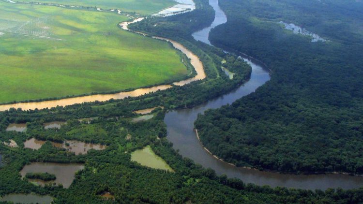
At the Mollicy Farms Unit of the Upper Ouachita River National Wildlife Refuge in Louisiana, TNC worked with the USFWS to reconnect 25 square miles of floodplain habitat to the Ouachita River. Photo credit: Keith Ouchley/TNC
Emiquon Preserve in Illinois
At more than 6,000 acres, TNC’s Emiquon Preserve in Illinois is one of the largest floodplain restoration projects in the Midwest. Photo credit: Doug Blodgett/TNC
Cedar River in Iowa
The Land of the Swamp White Oak project area is a 300,000-acre floodplain landscape at the confluences of the Cedar, Iowa and Mississippi Rivers in Iowa. Some 40,000 acres of public and private lands have been voluntarily protected here.
Puyallup River in Washington
In 2009, severe flooding on the Puyallup forced one of the largest urban evacuations in the state’s history—26,000 people. After this flood, 1.5 miles of a levee were set farther back from the river’s channel to give the Puyallup more room. The restoration work was put to the test in November 2014, when similar heavy rains pounded the area. The new, setback levee passed with flying colors, as the same communities that were inundated in 2009 avoided flooding in 2014. Learn more.
Photo credits this page ~ Main image: Byron Jorjorian; Mollicy Farms image: Keith Ouchley/TNC; Emiquon image: Doug Blodgett/TNC