About Us
We are a network of people dedicated to providing robust, scientific information to support objective decision-making about water resources. We work in local places, from small watersheds to states and regions to raise awareness of the importance of our freshwater resources and the decisions that will affect those resources in the future. As the network grows, so too does our ability to see the connectedness of our communities and understand the water that connects us all.
Development of this network is led by The Nature Conservancy. However, the network is made up of many other people, organizations, and geographies that provide support, data, services, and feedback. If you would like to join the network by adding a geography, adding data, or engaging in the development of a custom analysis or application, please visit the Get Involved Page.
Scientists
Scientists, researchers and modelers compile the best-available data and use it to better understand water resources.
Our scientific network is broad and contains scientists from many places working together. For example, scientists from The Nature Conservancy work alongside student researchers at Southern Illinois University to compile and analyze fish community data that is available for Louisiana and Mississippi. Funded by the National Science Foundation, these researchers turned freely-available data collected by state agencies and Universities into a fish community evaluation that will be used to support decision making about watershed development and conservation.
Communities
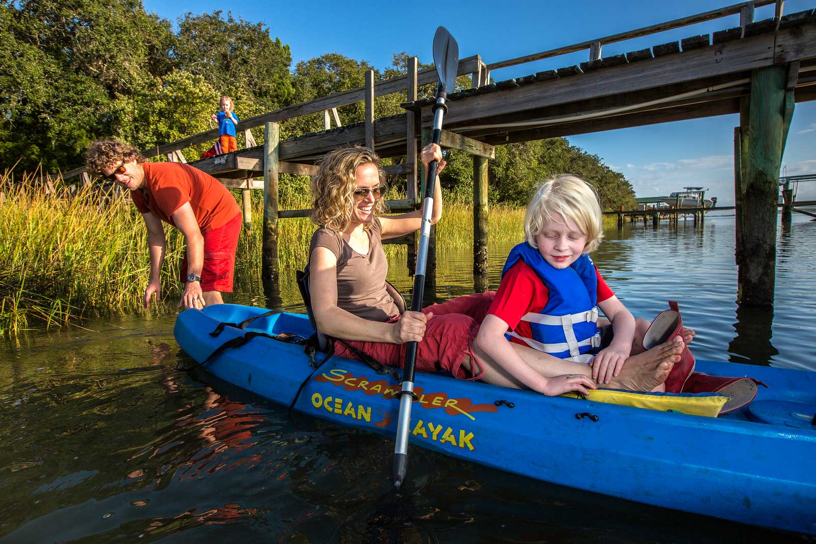
As consumers of the scientific information, communities often drive the innovation and custom analyses that make this network useful for real-world decisions. In turn, well-informed communities become supporters of the network and advocates for decisions made about their watersheds.
For expample, fishing communities can learn about how decisions made about water upstream from the coast can affect oyster fisheries. Using our draw and report tool, communites can also explore features that alter the hydrology of their watersheds.
Agencies
Government agencies collect and publish massive amounts of data that are available for use in decision making. Much of the data that our scientists compile comes from these state and federal data sources.
The Freshwater Network is built on a foundational hydrologic dataset created by the US Geological Survey. Additionally, it contains data sets and layers from an array of federal agencies including: Natural Resources Conservation Service, US Army Corps of Engineers, US Fish and Wildlife Service, Environmental Protection Agency, National Park Service, National Estuary Program, and the US Census Bureau. Additionally, the network contains a wealth of state-agency and university data. These data include the Louisiana Department of Environmental Quality, The Environmental Protection Agency, the Louisiana Department of Wildlife and Fisheries, Tulane University, University of Louisiana-Monroe, University of Southern Mississippi, and the Mississippi Museum of Natural Science.
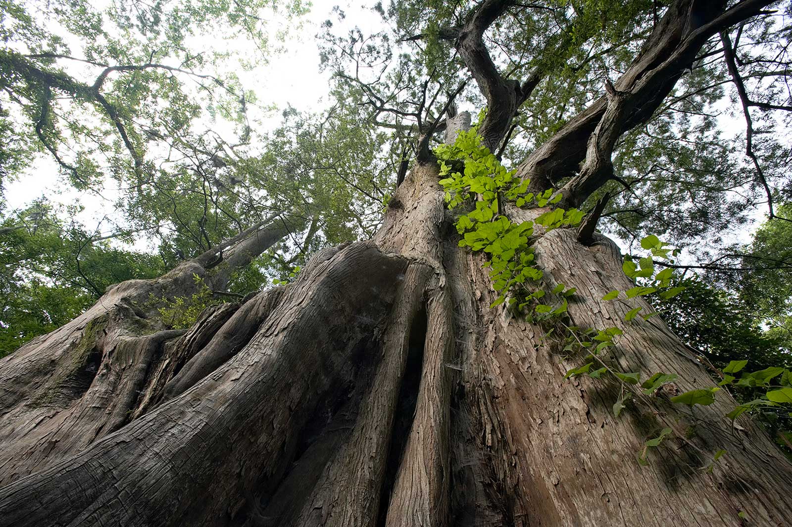
Photo credits this page ~ Main image: Erika Nortemann/TNC; Scientists thumbnail: Byron Jorjorian; Communities thumbnail: Karine Aigner; Agencies thumbnail: Robert J. Hurt