Aquatic Barrier Prioritization
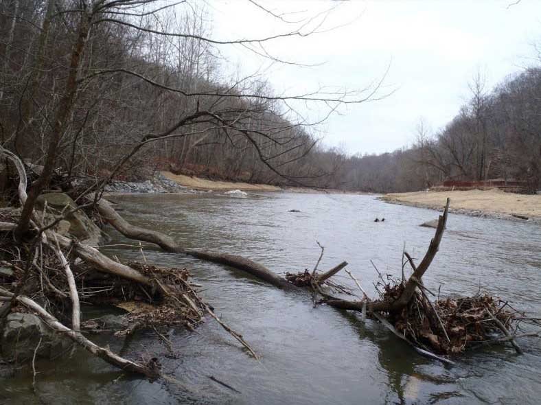
Reduced aquatic connectivity, the fragmentation of river habitats by dams, road-stream crossings (e.g. culverts) and other aquatic barriers, pose primary threats to aquatic species in the U.S. These barriers limit the ability of sea-run fish to reach freshwater spawning habitats and prevent resident fish populations from moving between other critical habitats. Many of these in-stream barriers are caused by aging infrastructure that’s beyond or near the end of its useful lifespan. Many dams no longer serve their intended purpose, and some pose a risk of catastrophic failure and are serious hazards that cause drownings. Old and poorly functioning culverts can increase the risk of road failure in storm events. Removing dams and upgrading culverts can restore functioning ecosystems, reduce liability and increase property values, and stimulate recreational opportunities and economic activity.
The Aquatic Barrier Prioritization tool was developed to support the river restoration community, including planners and natural resource managers, in their efforts to target dam removals, make fish passage improvements, and other improve aquatic connectivity that have the most benefit for migratory fish or other species of interest.
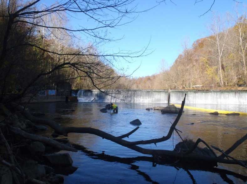
Before and after photos of the Simkins Dam removal on the Patapsco River in Maryland.
Photo credit: © Mary Andrews/NOAA
The Aquatic Barrier Prioritization tool leverages a comprehensive database of dams and other aquatic barriers in each geography where it is implemented. A suite of ecologically relevant metrics is generated for each barrier, and these metrics are used to develop a consensus-based prioritization, informed by an expert-driven project work-group, that ranks barriers based on their ability to benefit migratory fish or other objectives if removed or bypassed. Custom analysis functionality is also included in the tool that enables users to create customized prioritizations based on user-defined objectives (for example within a given state or watershed, for the benefit of a specific fish species, or modeling the removal of one or more barriers).
The Aquatic Barrier Prioritization tool can be used in multiple phases of a barrier removal project. Early on, planners can use the consensus priorities or custom analysis tool to identify priority barriers that match their objectives for fish passage projects. After a potential barrier removal project has been identified, the prioritized results can be used to demonstrate the ecological value of the proposed project to funders with similar objectives. Likewise, they can be used by funders to help inform funding allocation decisions. Later, while a barrier removal project is underway, the web map can be used in outreach efforts to help dam owners, transportation agencies and the general public better understand the importance of the passage project in a regional context. Finally, after a project is complete, the results can provide measures to help managers understand and track the ecological impact of the project.
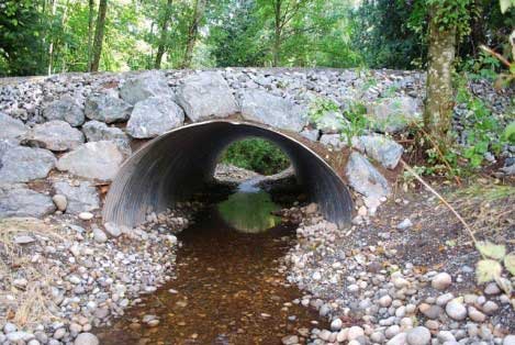
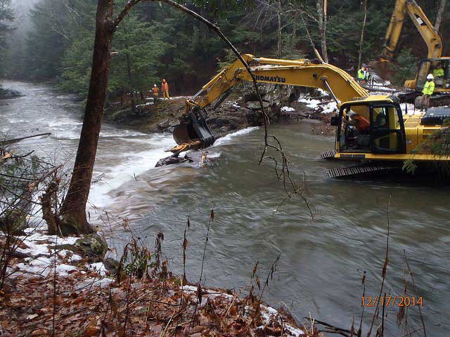
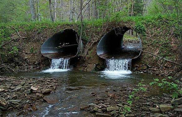
Photo credits this page ~ Main image: Bridget Besaw; Fish photo: Margaret Pizer/TNC. Before/After photo: © Mary Andrews/NOAA