Coastal Alabama Restoration Tool
 The State of Alabama boasts 57 miles of Gulf shoreline, over 600 miles of tidal and estuarine shoreline, and, with over 4,500 documented species, the highest species diversity of any state east of the Mississippi River (and fifth highest nationally).
And water? Mobile Bay’s is the sixth largest drainage basin in the nation (43,662 square miles) with the nation’s fourth largest freshwater flow (on average 62,000 cubic feet per second), and our area receives, on average, over five and a half feet of generally hard rain annually.
But with expanding populations, burgeoning development, and conversion of natural landscapes to streets, parking lots, and suburbs, the impacts of all this stormwater on receiving waters pose the greatest threats to our water quality, habitats, and the outdoor activities that underlie our rich qualities of life.
Coastal and stream bank erosion, sedimentation, habitat loss, invasive species, nutrient over-enrichment, and hypoxia are among the impacts of stressors identified in watershed management plans that threaten this place for future generations of Alabamians and visitors. With a long list of restoration opportunities – streams, shorelines, wetlands, aging or ineffective infrastructure, and limited access among them –how can we prioritize to ensure the most effective and unbiased use of finite resources to protect our coastal assets?
The Coastal Alabama Restoration Tool may provide the answer, and development of a Watershed Comparison Application will be the first step in building this framework. The Mobile Bay National Estuary Program and its stakeholders and partners on the Management Conference Committees will identify and assemble data layers from across the State, region, and nation.
These layers will be used to inform where restoration and conservation activities will provide the greatest “bang for the buck”, remedying harm to coastal resources resulting from the Deepwater Horizon oil spill and cumulative human disturbances. Habitat and water quality data will be collated and organized in an inventory for multi-level comparisons and prioritizations (e.g., within and between different watersheds or different counties), based upon criteria developed by MBNEP committee members.
We envision that local decision makers will be able to select areas for comparisons to determine which efforts might provide the greatest or most cost-effective benefits to water quality and living resources along the Alabama Coast.
Prioritization of restoration and conservation opportunities with the restoration tool will be guided by the framework of six common values identified in the Comprehensive Conservation and Management Plan for Alabama’s Estuaries and Coast most important to our coastal quality of life:
- Access – It is an important component of stewardship and coastal protection because the more connect people are to coastal resources, the more they will value and protect them.
- Beaches and Shorelines – Along with the economic importance of beaches, research has concluded that establishing more natural shorelines on bays, backwaters and rivers is critical, since these rich, productive “edge habitats” are key to sustaining populations of fish, shellfish, birds, and coastal wildlife.
- Fish – Healthy fish and shellfish populations define coastal Alabama and underlie the seafood industry, our major recreational pastime, and the diets of residents and visitors.
- Heritage and Culture – Preserving our historical and cultural legacy is about protection of things long valued in coastal Alabama, to be experienced by future generations and not just accessed as memories in books or on web pages.
- Resiliency – This refers to the coordinated actions needed to reduce vulnerability and respond to and recover from events like hurricanes inherent when living on the northern Gulf coast.
- Water Quality – Coastal Alabamians desire water that is drinkable, swimmable, and productive for aquatic life. This most critical value sustains all others.
The Coastal Alabama Restoration Tool will house a wealth of data and information about our natural resources and watersheds and provide robust analyses and modeling to inform decisions about managing watershed health, landscape integrity, water quality, surface water flow, biological condition, and groundwater resources. This powerful and user-friendly tool will supply the science to support decision making and scenario planning for communities to ensure healthy water and natural resources and values important to those who live along and appreciate coastal Alabama.
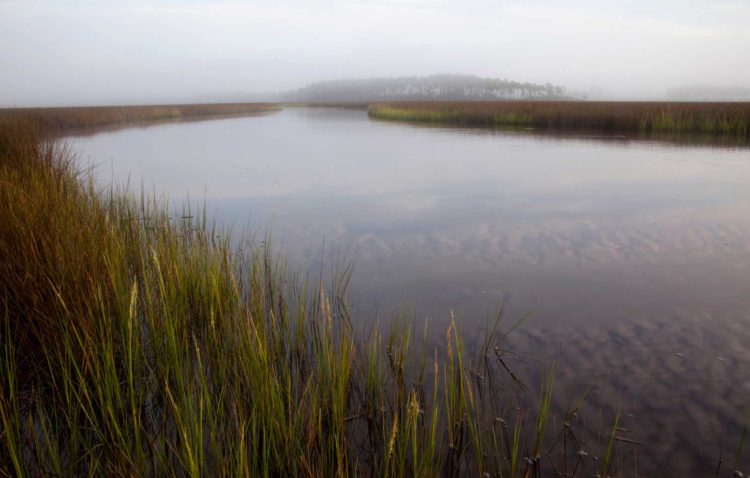
Photo credits this page ~ Main image: Bridget Besaw; second image: Hunter Nichols.