Innovative Tools
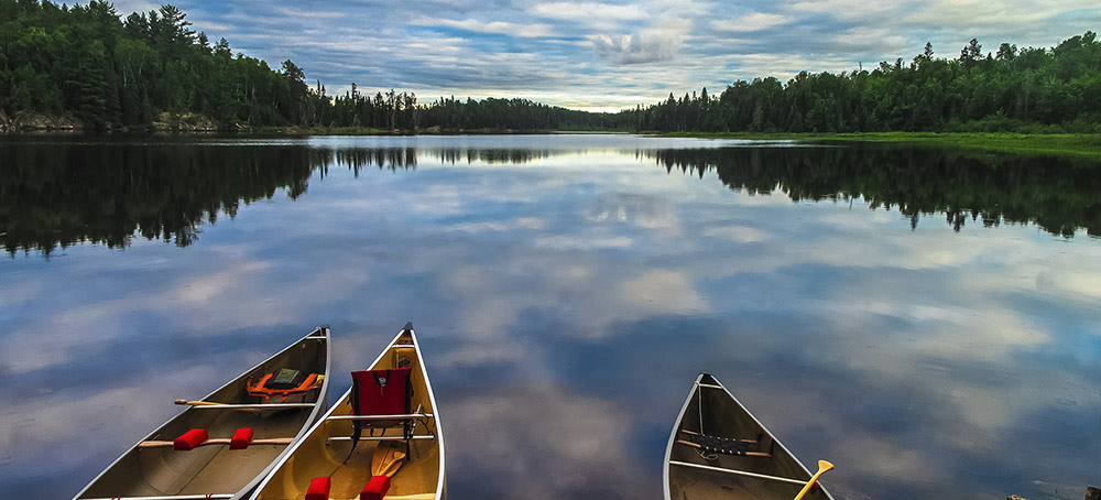
Freshwater Resilience Analysis
To help those working to protect or restore freshwater habitats, The Nature Conservancy engaged a steering committee of 60 scientists from 44 of the organization’s state and regional programs in developing the ‘Freshwater Resilience Analysis,’ which is completed for the conterminous US (CONUS) and underway for Alaska.
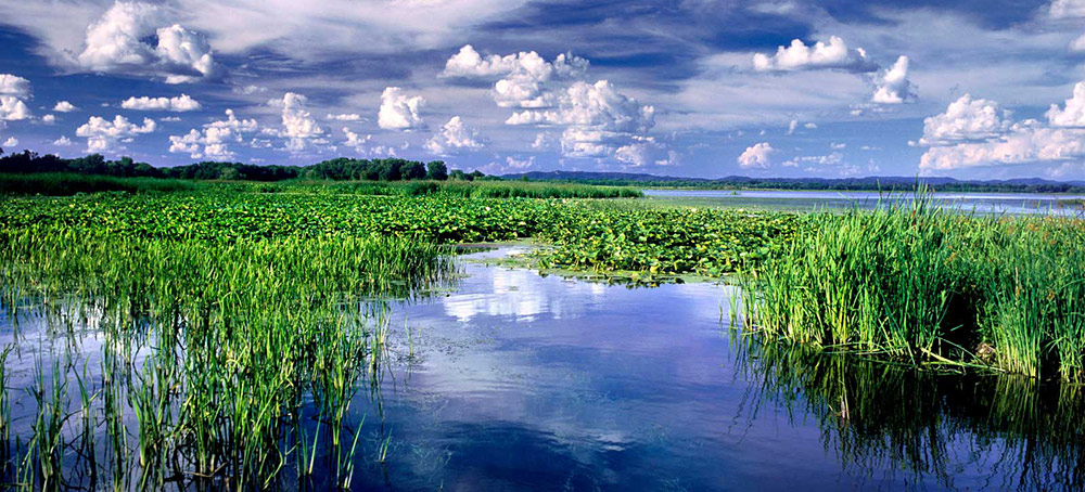
Floodplain Prioritization Tool
The Nature Conservancy worked with a wide range partners to develop the Floodplain Prioritization Tool (FP Tool) to identify places within the Mississippi River Basin where restoration or conservation would have the greatest impact on the overall health of this iconic river system.
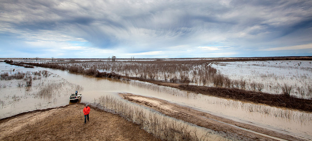
Conservation Delivery Application
The Nature Conservancy (TNC) partnered with The Natural Resources Conservation Service (NRCS) to develop an agricultural conservation scenario tool to aid in planning the application of Best Management Practices. The Conservation Delivery Application (CDA) estimates nutrient and sediment loading rates and models the potential reduction of constituent loads.
Water Quality Resource Inventory
The Nature Conservancy (TNC) partnered with The Natural Resources Conservation Service (NRCS) to develop a water quality hot spot tool to aid in targeting 12 digit sub-watersheds within 8 digit sub-basins in Louisiana for targeted nutrient reduction conservation practices.
Flow Modeling
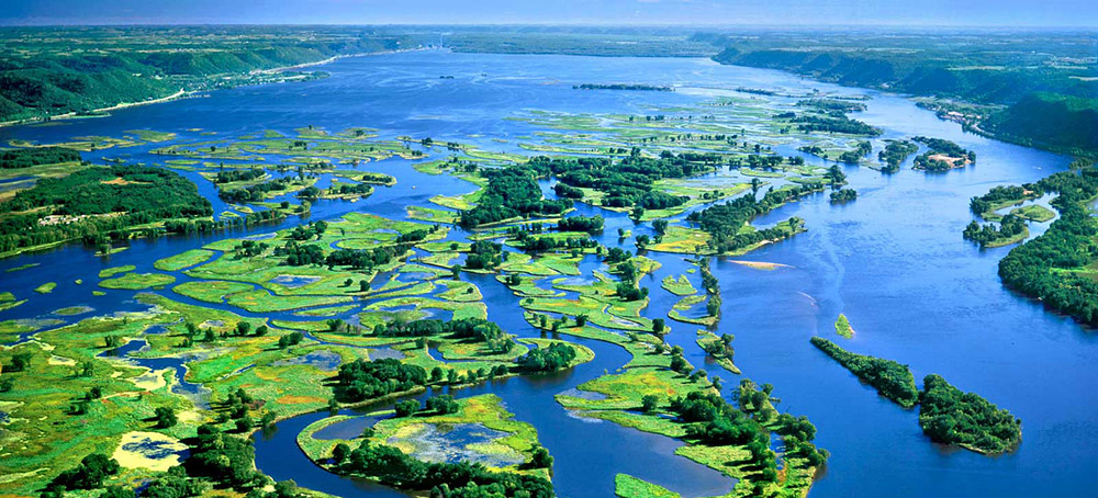
The Nature Conservancy (TNC) worked with Research Triangle Institute International (RTI) to adapt and deploy their WaterFALL™ model to estimate stream flow throughout Louisiana’s and Mississippi’s watersheds.
Channelization
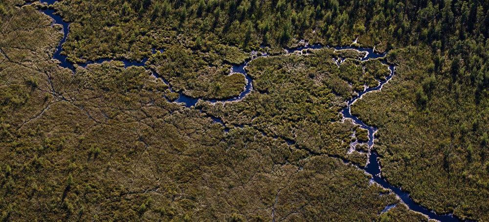
The Nature Conservancy has created an innovative method for identifying channelized streams and estimating the rate of channelization within watersheds.
Oysterflows
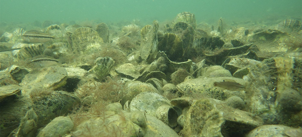
A story map based on a technical study and associated computer modeling to predict how climate change will affect freshwater flows in Louisiana estuaries and Mississippi Sound, and, thus, how suitable those estuaries will be in the years to come for the restoration of oysters and oyster reefs for their multiple values.